
Kentucky Horse Park sits at the center of the Bluegrass region and shows how horses, pasture, and tree‑covered landscapes shape the identity of Lexington and central Kentucky. For nearby property owners, the park’s land management offers a useful reference for how soil, climate, and vegetation interact across the surrounding landscape.
The Bluegrass Landscape Around the Park
Kentucky Horse Park occupies more than 1,200 acres in northern Fayette County, in a transition zone between urban Lexington and surrounding rural farmland. This setting lies within the Inner Bluegrass, known for rolling hills, limestone bedrock, and a patchwork of pastures, hedgerows, and mature trees.
Lexington’s climate features warm, humid summers and cool winters with occasional snow and ice. The frost‑free period usually runs from early May into mid‑October, giving trees and turf a long growing season. According to the USDA’s updated plant hardiness zone map, much of the Lexington area now falls in zones 6b to 7a, with winter lows from about −5°F to 5°F.
These conditions support common local tree species such as oaks, maples, hackberry, and black walnut in yards, fence rows, and small woodlots. Deep, limestone‑rich soils encourage vigorous growth, so trees can reach substantial size and create both valuable shade and notable storm risk near homes, barns, and roads.
Historical Roots of Kentucky Horse Park
The land that became Kentucky Horse Park has supported agriculture and horse breeding for more than two centuries. In 1777, Virginia governor Patrick Henry granted 9,000 acres in what is now Kentucky to his brother‑in‑law William Christian, and part of that tract evolved into the present park site.
Through the 19th century, owners used the land for crop farming, livestock, and trotting horse operations, including a training track built in 1897 that remains in use. In 1972, the Commonwealth of Kentucky purchased the property, and in 1978 the park opened as a working horse farm and equestrian venue focused on the relationship between people and horses. Today, the official Kentucky Horse Park site highlights daily farm operations and major equestrian events that reinforce the region’s equine identity.
Tree‑lined drives, stone fences, and scattered pasture trees form part of that heritage image. Many nearby residents mirror this pattern on their own properties, using trees to frame views, shade structures, and connect their landscapes to the wider Bluegrass setting.
Trees, Pastures, and Local Weather Stresses
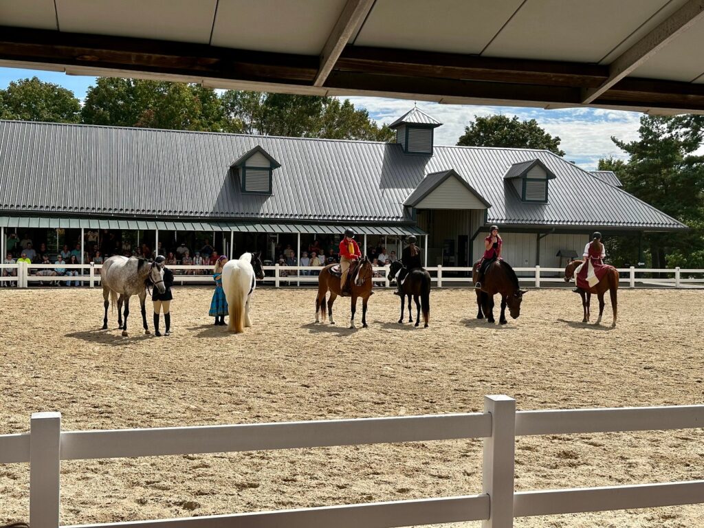
The mix of pastures and tree cover around Kentucky Horse Park reflects both aesthetics and equine management. Trees near paddocks provide shade and wind protection, while open grassland supports grazing and large outdoor events.
In central Kentucky, several recurring weather stresses affect pasture and yard trees:
- Strong summer thunderstorms with damaging winds and lightning
- Periodic ice storms that load branches and cause breakage
- Saturated soils in low areas that weaken root anchorage
These conditions can lead to limb failure or uprooting, especially in older or previously topped trees, and similar patterns affect street trees and yard trees across Lexington. Because horses may chew bark and compact soil, managers often fence trees off or maintain buffers around trunks, a practice large‑acreage owners and farm managers near the park can adapt for their own properties.
Local Regulations and Urban Forestry in Lexington
Kentucky Horse Park lies on state land but within the regulatory environment of Lexington‑Fayette Urban County Government (LFUCG). Local government manages public trees, sets standards for rights‑of‑way, and guides urban forestry programs that influence corridors leading to the park.
Under LFUCG code, a permit is required to remove a tree larger than 3 inches in diameter in the public right‑of‑way, measured about 4½ feet above the ground. The city’s street tree guidance explains that property owners must obtain approval to remove or replace a street tree and outlines basic maintenance expectations. On most non‑historic private residential properties, no permit is required to remove a dead, diseased, or infested tree, but sites in historic overlay districts need approval involving the urban forester and historic preservation office.
These rules shape how tree lines along major routes to Kentucky Horse Park are maintained, affecting safety during storms and the visual character of the Bluegrass landscape. Coordinated planting and removal decisions help keep canopy cover while reducing hazards near roads, sidewalks, and utilities.
Climate Trends, Storms, and Tree Risk
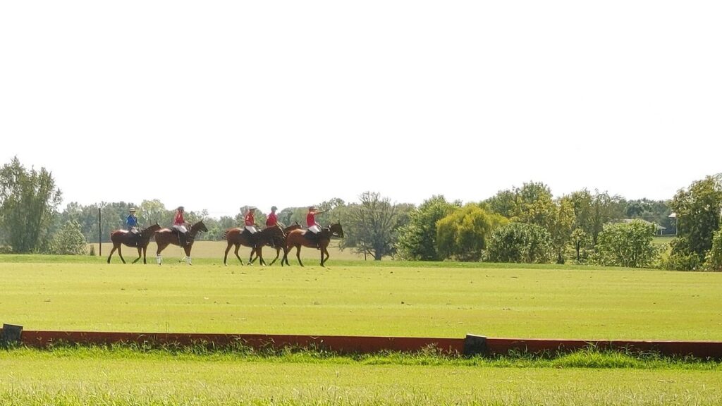
Central Kentucky experiences frequent convective thunderstorms, occasional remnants of tropical systems, and winter events that mix rain, snow, and ice. In the Lexington area, this combination means that trees around Kentucky Horse Park and in nearby neighborhoods periodically endure high winds, saturated soils, and ice accumulation.
The 2023 update to the USDA Plant Hardiness Zone Map shows warming trends that shift much of Kentucky into slightly milder zones. While this broadens planting options, it can also allow some pests and diseases to overwinter more easily, influencing long‑term health for maples, ash, and other common urban species. During major storms, downed limbs along corridors connecting Lexington to Kentucky Horse Park can block roads and disrupt access, so LFUCG and utilities coordinate response to clear hazards in rights‑of‑way and around power lines.
Bluegrass Heritage and Local Stewardship
Kentucky Horse Park functions as a visible anchor for Bluegrass heritage, linking equine history, open space, and characteristic tree patterns. The surrounding mosaic of pasture, woodland edges, and residential tree canopy shows how private and public decisions together maintain that identity.
Scholars at the University of Kentucky have examined how the park’s interpretation of horse history connects with broader discussions about race, labor, and tourism in the state, as outlined in a detailed history of the Kentucky Horse Park. Stories of Black jockeys, farm workers, and local communities are tied to the managed fields and tree‑lined roads that define the area.
As residents choose which trees, hedgerows, and historic plantings to retain or replace, they influence how this cultural landscape evolves while balancing storm resilience, access, and safety.